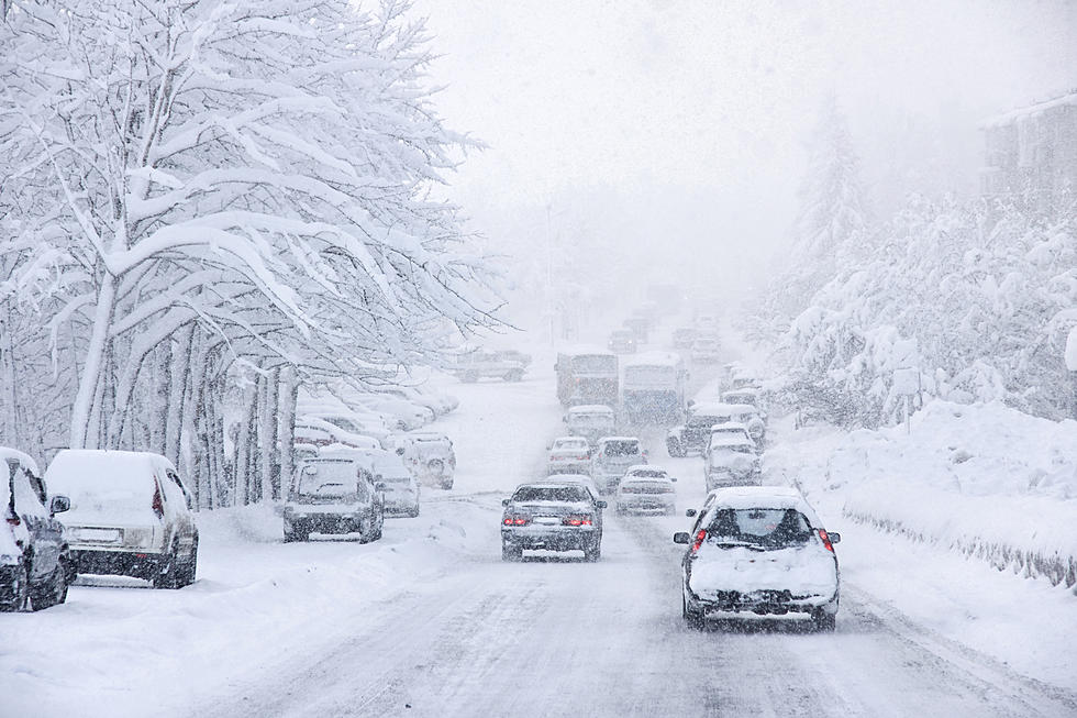
Winter To Make A Big Comeback
A Winter Storm Watch has been posted for late Wednesday through the day Thursday. (See the watch graphic area below.) Winter Storm watch are a is the blue.
According to the National Weather Service, a band of snow is expected to push into western Minnesota Wednesday evening while another one develops late Wednesday night, further east from south central Minnesota to northwest Wisconsin. A narrow swath of up to 7 inches is possible somewhere from the New Ulm/Mankato areas northeast to east central Minnesota and northwest Wisconsin. Outside of this narrow corridor, 2 to
4 inches are expected by Thursday afternoon. Strong northwest winds will develop late Wednesday night and continue through Thursday. The strongest winds will be found from
west central to south central Minnesota where winds could gust to 40 mph. This will result in widespread blowing snow and possible whiteout conditions.
Specifically for the immediate area, Kanabec, Sherburne-Isanti, Chisago, Meeker, Wright-Hennepin, Anoka, Ramsey, Washington, McLeod, Sibley, Carver, Scott, Dakota, Le Sueur-Rice, Goodhue, Steele, Polk, Barron, Rusk, St. Croix, Pierce and Dunn Counties, Including the cities of Mora, Elk River, Cambridge, Center City, Litchfield, Monticello, Minneapolis, Blaine, St Paul, Stillwater, Hutchinson, Gaylord, Chaska, Shakopee, Hastings, Le Sueur,
Faribault, Red Wing, Owatonna, Osceola, Rice Lake, Ladysmith, Hudson, River Falls, Prescott, and Menomonie.
Heavy snow and blowing snow possible. Plan on difficult travel conditions, including during the morning commute on Thursday. Total snow accumulations of 4 to 6 inches are possible.
This is still a developing situation. Check back for the latest information.
 Source: Winter To Make A Big Comeback
More From KRFO-FM